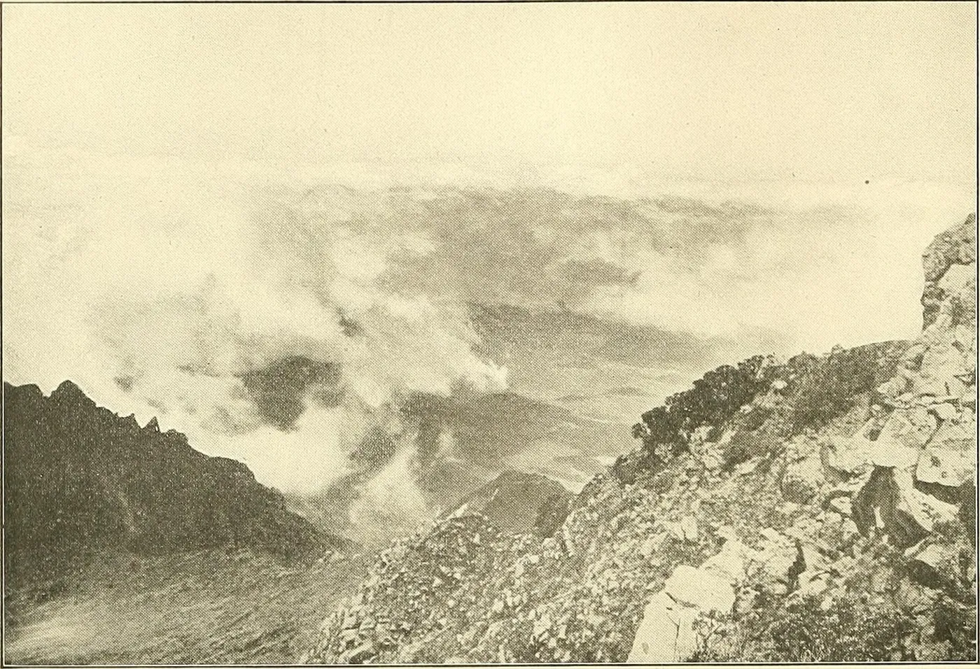
A Stratovolcano, Panama’s Highest Point
Volcán Barú is an active stratovolcano — dormant, not extinct — and the country’s only volcano. At 3,475 metres, it’s Panama’s highest point, built up over several hundred thousand years by layer upon layer of pyroclastic flows, lahars, and lava flows, on a cone that covers roughly 280 km². It belongs to the Central American Volcanic Arc, produced by the Cocos Plate subducting beneath the Caribbean Plate, not far from the border with Costa Rica.
Its rock is mostly andesitic and basaltic-andesitic. Geologists distinguish two families of lava here: older, “classic” calc-alkaline lavas, and more recent adakitic lavas — produced by partial melting of the subducting plate itself, a distinctive geochemical signature found on few volcanoes worldwide.
What strikes you most from the air is that the summit isn’t a classic cone but a horseshoe-shaped amphitheatre roughly 6 km across — the scar of a massive collapse of one flank of the volcano. Before that collapse, Barú is thought to have stood 300 to 500 metres taller than it does today.
Two Eruptive Histories, Not to Be Confused
The scientific record distinguishes two very different phenomena, often blurred together in popular summaries.
The flank collapses — the oldest and most massive events. Two debris avalanches have been mapped and dated: the Caisán avalanche, the older of the two, predating 43,000 years, which formed today’s summit amphitheatre — a 50 km runout, covering more than 1,180 km², with a combined volume (with the following event) estimated at 25–30 km³, making it, according to the USGS, “the largest debris avalanche documented in Central America — nearly ten times more voluminous” than the 1980 Mount St. Helens event. And the more recent Barriles avalanche, dated to roughly 9,000 years ago (early Holocene), with a 45 km runout covering more than 990 km².
Four more recent eruptive episodes, over the last 1,600 years. A landmark 2007 USGS study documents four distinct explosive episodes, dated by radiocarbon: a first around AD 640–850, a second around AD 1000–1330, a third not directly dated, and the last known episode, between AD 1400 and 1550 — the Smithsonian Institution favours a point estimate of roughly AD 1550. These eruptions produced block-and-ash flows that moved west, across the volcanic fan now occupied by the town of Volcán. No eruption has been recorded since — Spanish colonial records begin shortly after that date, suggesting a genuine lull rather than simply an undocumented event.
A useful correction. Contrary to a common mix-up, the gigantic collapse that carved out Barú’s summit did not happen around 1,500 years ago: it dates back tens of thousands of years. What happened around AD 1550 (so a little under 500 years ago, not 1,550 years ago) is the last known eruption — a far more modest episode than the original collapse.
A still-debated archaeological note: some studies long linked an eruption around AD 600–700 to the disappearance of the pre-Columbian Barriles culture, known for its stone statues with conical helmets. More recent reassessments question that dating, suggesting the ash found at Barriles sites may actually correspond more closely to the AD 1400–1550 episode — a scientific disagreement that remains open.
A Sleeping Volcano, Under Watch
Barú is classified as a “Holocene” volcano by the Smithsonian — meaning neither extinct nor threatening, but one the USGS describes as “potentially active,” one that “will probably erupt again in the near or distant future,” with no timeline that can be put on it. Continuous seismic monitoring is carried out by the University of Panama’s Institute of Geosciences.
Several seismic swarms have marked the past century: September 1930; June–August 1963 (up to M4.4, several hundred earthquakes recorded — an older interpretation read this as a sign of magma on the move, a reading the USGS now considers “unfounded”); November 1985 (M4.3, a dozen homes damaged); and May 2006 (up to M4.7, in the Boquete area). Today, the university’s seismographic network records small earthquakes below M3.5 on a daily basis — background restlessness considered normal, not an escalation.
Panamanian media sometimes repeat the idea that the volcano erupts “roughly every 500–550 years,” which would place the next episode around 2050 — a journalistic extrapolation from the four Holocene episodes, not a scientific forecast: neither the USGS nor the Smithsonian will commit to a timeline. A striking anecdote, but one to handle with the caution it deserves.
What a Future Eruption Could Cause
The USGS’s 2007 hazard assessment describes several scenarios: pyroclastic flows moving at 50–150 km/h, several hundred degrees hot, that have historically travelled up to 15 km from the summit, mostly toward the west (toward Volcán) — though a slight shift in the eruptive vent could, according to the report, send future flows toward the valleys on the Boquete side instead. Lahars, described as a flow of “moving concrete,” could extend 10 to 20 km, channelled in particular by the Río Chiriquí Viejo. Ashfall has historically reached more than 100 km downwind, with the town of Volcán remaining the most exposed. More than 10,000 people currently live in the highest-risk zone, in the volcano’s immediate vicinity.
The Summit Climb
Two main routes lead to the summit. The most travelled starts from Boquete, along the dirt road known as “Camiseta,” via the Los Naranjos ranger post — about 13.5 km each way (a little over 26 km round trip), with an elevation gain estimated, depending on the source, at between 1,800 and 2,270 m, and a total walking time of 11.5 to 12.5 hours; 4x4 tours cover the same route in about two hours each way. This trail was, in fact, temporarily closed in July 2026 after a landslide in the La Nevera sector, before reopening on July 14 under the Ministry of Environment (MiAmbiente) — a reminder that access remains subject to the terrain’s whims, and is worth checking before setting out.
The second route starts from the Volcán / Cerro Punta side — steeper, less developed, and used mostly by locals — taking roughly six hours to climb.
Tradition holds that the ascent is made at night, often setting out before 2am with a headlamp, to reach the summit at sunrise — the moment when clouds are statistically least likely to have already formed. A halfway camping spot, Los Fogones, also lets hikers split the climb in two, with a departure around 5am for the summit.
Access is managed by MiAmbiente, with an entry fee generally cited at around $5, and a firm recommendation to go with accredited guides, particularly for night departures. Summit temperatures can drop below 0°C in the dry season, sometimes with hail or frost.
Both oceans, really? Barú is indeed the only spot in Panama — and one of the few in the world — from which both the Pacific and the Caribbean Sea can be seen at once, on a truly clear day. But that double view stays rare: many hikers who make the pre-dawn ascent see only clouds, or just one of the two oceans. It’s precisely to maximize that never-guaranteed chance that the night climb remains the norm.
National Park and Biodiversity
Parque Nacional Volcán Barú was created by Executive Decree No. 40 of June 24, 1976, and covers 14,322 hectares within the Talamanca mountain range. It forms the southern anchor of the Mesoamerican Biological Corridor, in ecological connection with La Amistad International Park, a UNESCO World Heritage Site shared with Costa Rica.
The park crosses several ecological zones, from montane tropical forest to cloud forest, up to a summit zone resembling páramo — cold- and wind-resistant grasses and shrubs, on thin soils. The Resplendent Quetzal, the park’s emblem, feeds largely on wild avocados here; around 250 bird species have been documented. Baird’s tapir, Central America’s largest land mammal, the puma, the ocelot, and — according to some sources — all five of Panama’s wild cat species are thought to use part of the park’s territory.
Real conservation challenges remain: agricultural expansion and heavy agrochemical use at the park’s edges, unauthorized road-building and material extraction without impact studies, land insecurity (untitled land, speculation), and — more recently — cases of illegal intervention and land-use change detected inside the park itself by MiAmbiente.
Hiking from Wild on the Farm → Reserve your stay →
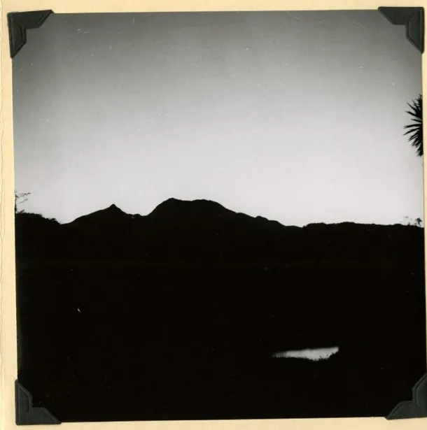
Photo credits: “Above the Clouds, Chiriquí Volcano,” an engraving from Panama and the Canal in Picture and Prose (1913), public domain, via Wikimedia Commons / Biodiversity Heritage Library. “Dawn silhouette of Volcán Barú, from Palo Santo, Chiriquí,” February 27, 1954, from the expedition album of Alexander Wetmore, Secretary of the Smithsonian Institution — Smithsonian Institution Archives, no known copyright restrictions.
Main sources: Sherrod, Vallance, Tapia Espinosa & McGeehin (2007), Volcán Barú — Eruptive History and Volcano-Hazards Assessment, USGS Open-File Report 2007-1401; Smithsonian Institution Global Volcanism Program; Herrick, Siebert & Rose (Geological Society of America) on the Barriles and Caisán avalanches; MiAmbiente.
This article is © Wild on the Farm, Boquete Cloud Forest Lodge. All rights reserved — it may not be reproduced, republished, or redistributed without prior written permission. Read our full legal notice →